

GMWSS Portal
• Make a Payment
(Credit / Debit / e-check)
• Schedule Payments
• Pay by Text
• Check Account
Balance
• View Usage History
• Sign Up for E-Bills
(Additional Info)
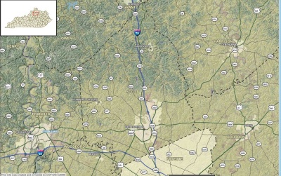
Georgetown-Scott County Maps
GIS is a computer technology that combines mapping and
information stored as data to generate maps and reports, and provide a
systematic approach to collecting and managing information.
The Kentucky Division of Geographic Information (DGI) hosts an interactive
mapping website for Georgetown-Scott County as a collaborative effort between
the state and Scott County.
Click on the image below to view the interactive map for Georgetown-Scott
County, which is part of the statewide Kentucky Commonwealth Map. The map
includes high resolution aerial imagery from April 9, 2005 for the
Georgetown-Scott County area.
Help using the interactive map
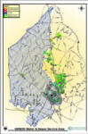
GMWSS Water / Sewer / Garbage Service Areas
GSC Planning Commission Map Gallery
The Map Gallery contains maps
for Zoning and Land Use, General Reference,
Political Boundaries, School Districts, and many more.
Additional GSC Planning Commission Maps and Resources
Our thanks to the Georgetown-Scott County Planning
Commission for allowing
GMWSS to use some of the information they maintain on our website.


